


Organization: Natural Resources and Watershed Khorasan
Location: IRAN – Khorasan
Industry segment: Enterntainment
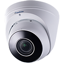
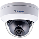
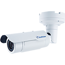
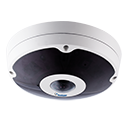
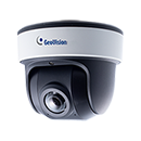
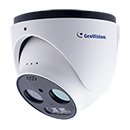
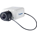
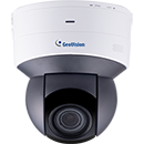
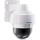
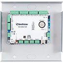
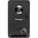
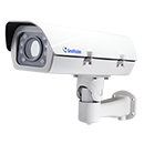
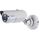
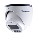
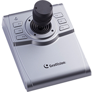
Products: Geovision IP Camera
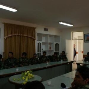
Application: Monitoring Central Building
Establishment of Forest Management Bureau (1905)
In1905, a bureau was set up in the Ministry of Public Benefits under the title of the Bureau of “Roads, Railways and Forests “mandated for the management of natural resources throughout the country.
Establishment of the Forestry Bureau (1920)
In 1920, Ministry of Agriculture and Commerce formed a forestry bureau in Mazandaran province specifically mandated for mapping, cadastral survey, and identification of virgin and industrial forests as well as degraded forests and other wooded lands.
In 1925, the council of ministers ratified the “Charter of Foresters of Iran” in 8 articles, the main 3 items of which are as follows:
1-All types of forests are declared state-owned and considered as government property otherwise its private ownership is established by official legal documents;
2-The government exerts technical supervision for the development and conservation of all types of forests through Ministry of Agriculture and Commerce;
3-Permits for forest lease, harvesting operation and utilization of forest by-products are solely issued by Ministry of Finance under the technical guidance of Ministry of Agriculture and Commerce.
Establishment of Forests, Range and Watershed Management Organization (2002)
Forests Range and Watershed Management Organization was established in 2002 after the transfer of duties of watershed management from Ministry of Jihad Agriculture to FRO with the objectives as follows: protection, conservation, reclamation, development and utilization of forests, rangelands, forested lands, natural woods and coastal lands, as well as watershed management and soil conservation throughout the country.
About Geovision
GeoVision is a professional security company focusing on video surveillance products and video content analysis with a strong presence through Asia, Europe, North and South America and has grown year on year since its inception in 1998. Heavily investing in Research and Development, GeoVision has been able to lead in the PC-based video surveillance sector. It has been able to bridge the analogue and digital worlds together with its PC Based Video surveillance Software, products and solutions.
The company’s GV-series DVRs, hybrid DVRs, and GeoVision IP Cameras network video products are all equipped with built-in video content analysis. GeoVision also specializes in network surveillance and remote monitoring. The company’s video surveillance products can integrate with central monitoring stations, access control systems, point-of-sales, ATM, GIS, and license plate recognition systems. To meet the needs of its multi-regional customers around the world, GeoVision provides 19 language versions of products under the GeoVision brand. The built-in video analytics software performs different tasks such as face detection, tampering alarm, unattended object detection, missing object detection, smart search, single PTZ object tracking, people counting and crowd detection. In addition, there are also facial analytics such as face mask alarm, face scrabbling and face counting. Users will also benefit from optional feature enhancements including panorama view, defog and video stabilization. GV-Web reports are also available.
GeoVision received a number of awards over the years most notably for product innovation in digital video monitoring from Frost & Sullivan in 2007 and also won the Taiwan Business Award in 2008. GeoVision was also selected as World’s 200 Best Under a Billion by Forbes Asia for 2 years and Top Security 50 by A&S Magazine since 2004.
GeoVision is the 360° surveillance not only because of the 360° view fisheye camera and the 360° integrability with solutions like LPR, access control, POS loss prevention, and digital sign-age; our 360° open platform enables customers to mix-and-match camera and software features for a seamless integration.
GeoVision Interoperability
GeoVision network video recorder (NVR) and video managing software (VMS) are based on an open platform in which the NVR/VMS has published application programming interface (API) to allow developers to alter the functionality of GeoVision NVR/VMS. This enables GeoVision to support over 1,000 IP camera models from multiple vendors such as Axis, Arecont Vision, Bosch, Cannon, Panasonic, Pelco, Samsung, Sony, etc. GeoVision’s growing line of over 70 IP camera models are also fully compliant with the ONVIF standard, ensuring compatibility with software from VMS companies like Exacq Technology, Genetec, VideoInsight, and many others.
Benefits of Interoperability
The interoperability of GeoVision products provide our users with a variety of benefits. Users have the freedom to integrate the best software and hard-ware according to the specific budget and needs of the project. Cost of own-ership is also reduced with the minimization of integration costs, enabling users to choose the most suitable combination of products regardless of vendor.