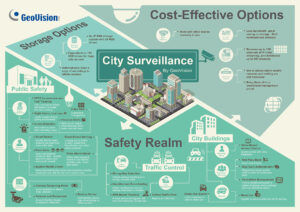
Smart city has become a global trend, and a critical component of smart city is smart transportation which helps reduce traffic and carbon emissions, optimize the user experience and gather data that the government can use for future planning and development.
That was the argument raised by speakers during a smart transportation forum held on the sidelines of a smart city expo in Taipei. According to them, transportation is made smarter thanks both to technology advancements as well as the data generated by an increasing number of devices or sensors, including those for physical security such as IP cameras.
Parking
One of the major problems facing municipal governments is parking, which can be a painstaking experience if not planned carefully. Not only does prolonged navigation produce carbon emissions, it also leads to driver frustration. “Drivers waste an average of 55 hours per year searching for parking,” one of the present speakers, citing recent statistics from Frost & Sullivan. The same study finds the cost to consumers and local economies amounts to nearly US$600 million in wasted time and fuel.
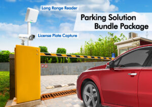
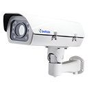
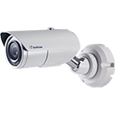
As an example, a suitable solution for municipal on-street parking should seek to address the entire parking experience, from navigation to payment. This system can entail a kiosk with an ultrasonic sensor that detects the availability of space and sends the information to the user’s mobile app, and a camera that takes the vehicle’s license plate number by way of automatic license plate recognition.The time of entering and exiting of the vehicle can then be recorded to a payment system, which deducts the value from the user’s account. This not only maximizes the user experience, but also helps streamline the municipal government’s operations by eliminating human workers who issue paper parking bills or invoices.
Data
But it’s the data that makes transportation truly smart. This data can include electronic toll collection data, geo-positioning satellite data, and even data transmitted from the user’s mobile device under the cellular vehicle probe (CVP) scheme. The data generated can help the government understand more about traffic patterns at a particular location during a particular time and make related adjustments accordingly.
Now we will examine FET’s case study with the New Taipei City government which built a new mass rapid transit line in a particular region, resulting in heavy traffic near the site. FET collected both current and historic traffic-related data near the site and produced a report for the government, indicating which time of the day saw the heaviest traffic. The government then used the information to regulate and control traffic accordingly, directing vehicles to other routes or adjusting traffic lights as needed.
Such data can help smarten up different modes of transportation, including rail and MRT. Billions of data are being collected per year which are analyzed by algorithms and intelligent software to provide optimal maintenance to the cars with respective to the trains.
Source: a&s Magazine
