توضیحات
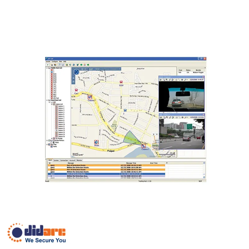
GV-GIS is a central management solution based on GIS (Geographic Information System).
GV-GIS is a central management solution based on GIS (Geographic Information System).

درباره ما
شرکت بازرگانی دیدارک توسط گروهی متخصص در حوزه علوم مهندسی Electronic/Control و علم روز مدیریت MBA از دانشگاه های صنعتی شریف و امیرکبیر و همچنین مجرب در حوزه تامین و ارائه راهکار های سیستم های امنیتی تاسیس شد و با بکارگیری علم مهندسی و دانش مدیریت و نوآوری در بازاریابی، فروش و کارکنان با تجربه و تحصیل کرده در ارائه ی خدمات به مشتریان فعالیت خود را ادامه می دهد.
محصولات شركت دیدارک از معتبر ترين سازنده سیستم های امنیتی تايواني به صورت نمايندگی انحصاری تامين مي گردد.
رسالت ما حمایت منحصر به فرد از مشتری، تامین بخشی از حرفه ای ترین محصولات بازار سيستم امنيتي و ایجاد یک تیم مستحکم از مشتریان، کارمندان و تامین کننده هاست.
دیدارک نماینده انحصاری ژئوویژن تایوان در ایران در زمینه ی سیستم های نظارت تصویری شامل دوربین مدار بسته تحت شبکه IP ، تجهیزات مدیریت ضبط ، انتقال و آنالیز تصاویر و سیستم های کنترل دسترسی و تردد است.
دسترسی سریع
آخرین مطالب بلاگ
تمامی حقوق برای شرکت دیدبان ارک محفوظ میباشد | طراحی سایت و سئو آژانس دیجیتال مارکتینگ ایکاد

نقد و بررسیها
هنوز بررسیای ثبت نشده است.