Genuine · official warranty
Integration
GV-GIS
Model: GV-GIS
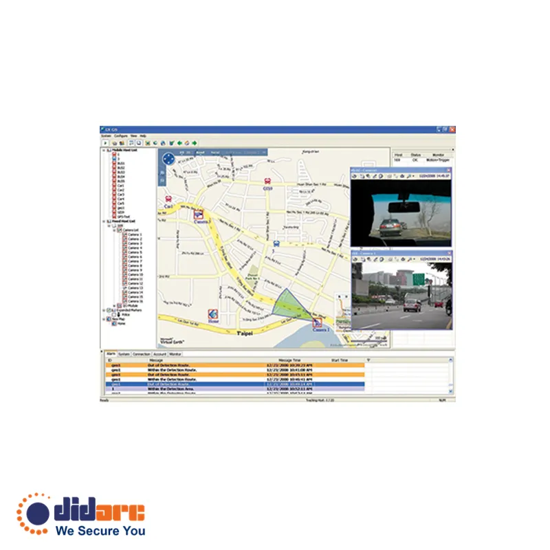
Real-time vehicle videos and GPS coordinates GPS Tracks playback Detour Detection Idle Speed Detection Over Speed Detection E-Map Support Motion and Input-triggered alert for fixed hosts Customized landmark (interested points) setting Google Maps, Microsoft Virtual Earth and user-defined maps support
Price
Project-based quote
GV-GIS – Comprehensive Geographic Information System for Surveillance
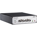
GV-GIS is a comprehensive management solution built on Geographic Information System (GIS) technology. With a GPS receiver connected to the GV-HD Video Encoder and GV-Compact DVR, it continuously collects GPS data—such as vehicle coordinates and speed—from satellites, transmitting this information to GV-GIS via a mobile internet connection.
In addition to real-time vehicle tracking, GV-GIS enables monitoring of camera locations and I/O device statuses from the GV-NVR, even without the use of GPS, making it an ideal solution for city surveillance.
Related products
Full product portfolio